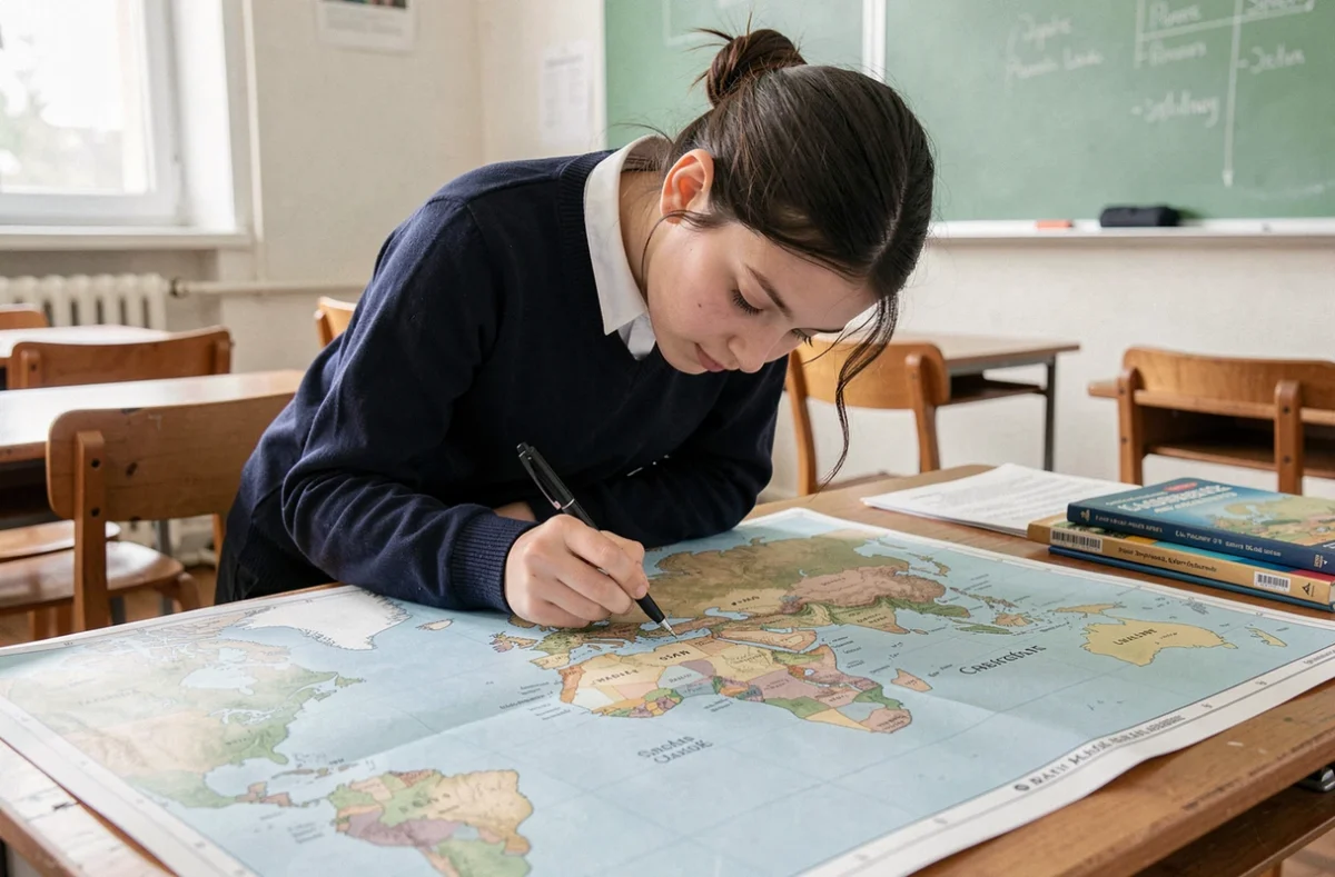
A blank world map is only as good as the projection it uses and the accuracy of its outlines. Choosing the wrong map background means learning a distorted geography, which can be costly during assessments where students are asked to place continents, oceans, and notable lines on a blank document.
Map Projection on a School World Map: Mercator, Eckert IV, or Equal Earth
The majority of blank world maps available online still rely on the Mercator projection. This technical choice poses a concrete problem in class: Mercator greatly enlarges regions near the poles, which distorts the visual comparison of areas between continents.
France announced in September 2026 the abandonment of Mercator for its official diplomatic maps, in favor of Eckert IV. This projection more accurately reflects the relative proportions of the continents. At the same time, a UN resolution adopted that same month encourages the use of equivalent projections (notably Equal Earth) when the goal is to compare the areas of territories.
No flat projection perfectly represents the Earth’s sphere. However, the choice of projection directly alters what the student memorizes. On a Mercator background, Greenland appears as large as Africa, which is incorrect. On an Equal Earth or Eckert IV background, the size ratios are closer to reality. We recommend checking the projection indicated in the caption of the PDF before printing it for an assessment.
To work on a blank world map to complete in a PDF version suitable for the school setting, prioritize a document that explicitly mentions its projection and offers clear outlines, without graphic overload.
Outlines, Markers, and Paper Weight: Technical Criteria for a Printable Map Background
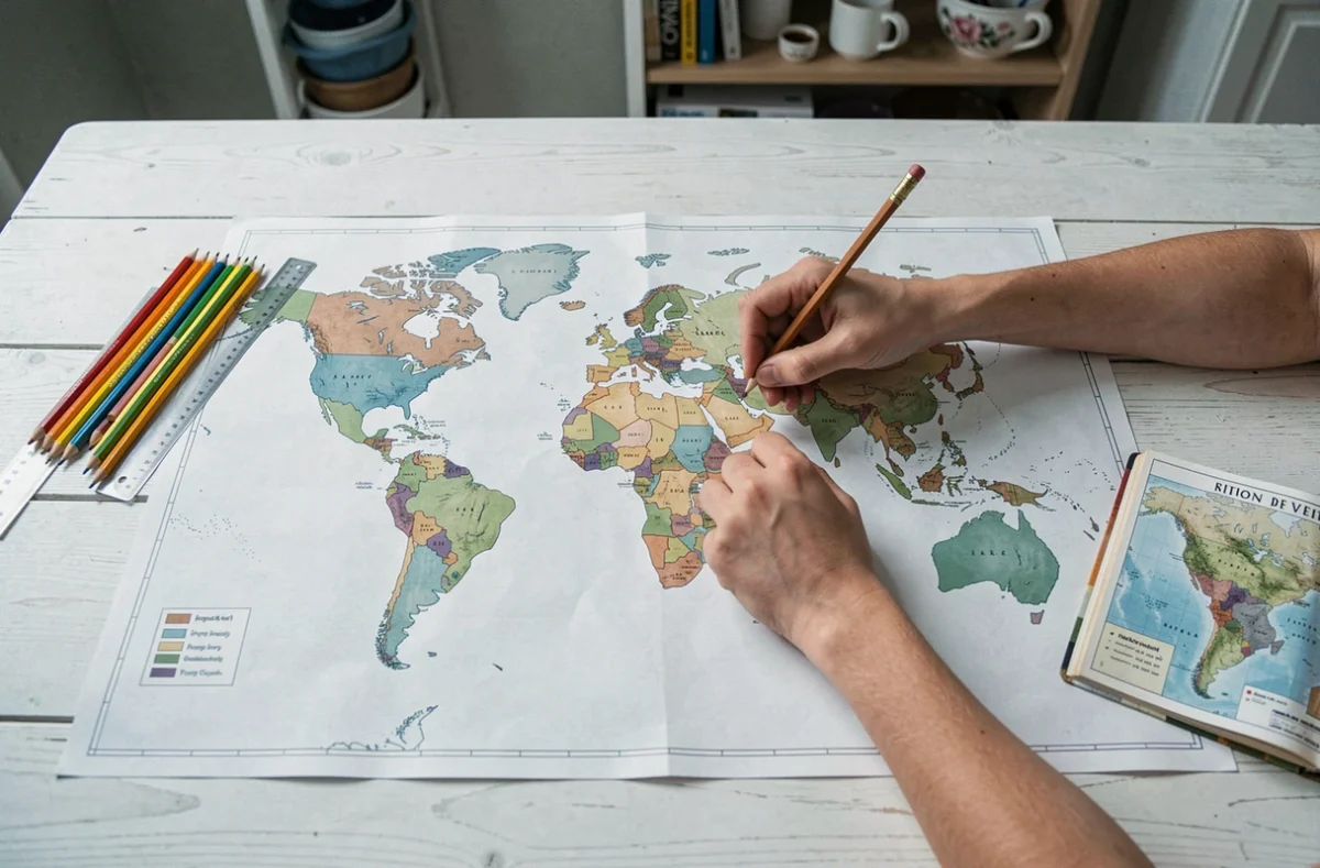
A map background intended for home printing or in a reprographics room must meet several technical constraints that Pinterest compilations or automatic generators often overlook.
- The vector PDF format maintains the sharpness of the outlines regardless of the printing scale, unlike JPEG or PNG files that pixelate as soon as the A4 format is exceeded.
- The thickness of the continental outlines must remain legible after printing in black and white on a standard laser printer. A line that is too thin disappears, while a line that is too thick obscures useful coastal details for distinguishing certain peninsulas.
- The presence of the equator, the Tropics of Cancer and Capricorn, as well as the polar circles, constitutes a necessary placement marker during an assessment. A world map without notable lines complicates the positioning of the oceans.
- The weight of the printing paper influences readability: sufficiently dense paper prevents ink from bleeding through and allows for writing with a pen without smudging.
We observe that the most commonly used files in cycle 3 measure an A4 page in landscape orientation, with reduced margins to increase the cartographic surface.
Black and White or Colored Version
For a classroom assessment, black and white remains the norm. The colored version (light blue oceans, gray continents) is more for home practice. In an exam context, the white background forces the student to recall their knowledge without visual cues, which aligns with the educational objective of a blank map.
Completion Method for Success in a World Map Assessment
Having a good map background is not enough. The completion method determines the quality of the recall on the day of the assessment.
Recommended Placement Sequence
Start with the oceans, not the continents. The oceans occupy the majority of the surface, and their correct identification constrains the placement of landmasses. Placing the Pacific Ocean first (the largest), followed by the Atlantic, Indian, Arctic, and Antarctic Oceans helps to mentally structure the map before writing in the names of the continents.
Next, position the continents starting from the equator: Africa and South America anchor on this line, providing a reliable horizontal reference. Europe, Asia, North America, and Oceania are placed relative to these two first.
Common Mistakes in Geography Exercises
The confusion between the Indian Ocean and the Pacific Ocean frequently appears in cycle 3 submissions. The trick is to associate the Indian Ocean with the triangle formed by Africa, India, and Australia.
Another pitfall: confusing Antarctica (continent at the South Pole) with the Arctic (ocean at the North Pole). On a world map in cylindrical projection, Antarctica appears as a stretched band at the bottom of the map, making it unrecognizable compared to its actual shape.
Adapting the Blank World Map to School Levels: From CE2 to 6th Grade
The expectations differ significantly between CE2 and 6th grade. The same map background is not suitable for all levels.
In CE2, the curriculum requires students to name and locate the continents and oceans. A simplified world map, with thick outlines and few coastal details, is sufficient. Notable lines can be pre-drawn to serve as a guide.
In CM1-CM2, the exercise becomes more complex: students are expected to place a few countries, major cities, and sometimes major rivers. The map background must therefore include national borders in dashed lines, without naming them.
In 6th grade, the world map serves as a support for exercises involving positioning by coordinates (latitude and longitude). The grid of meridians and parallels then becomes a technical element of the document, not just an ornament. A map background without this grid is unusable for this type of assessment.
Downloading several versions of the same world map (with and without borders, with and without coordinate grids) allows for varying training exercises and avoids the memorization of a single visual. The recall in assessments relies on spatial understanding, not on recognizing an image already seen.